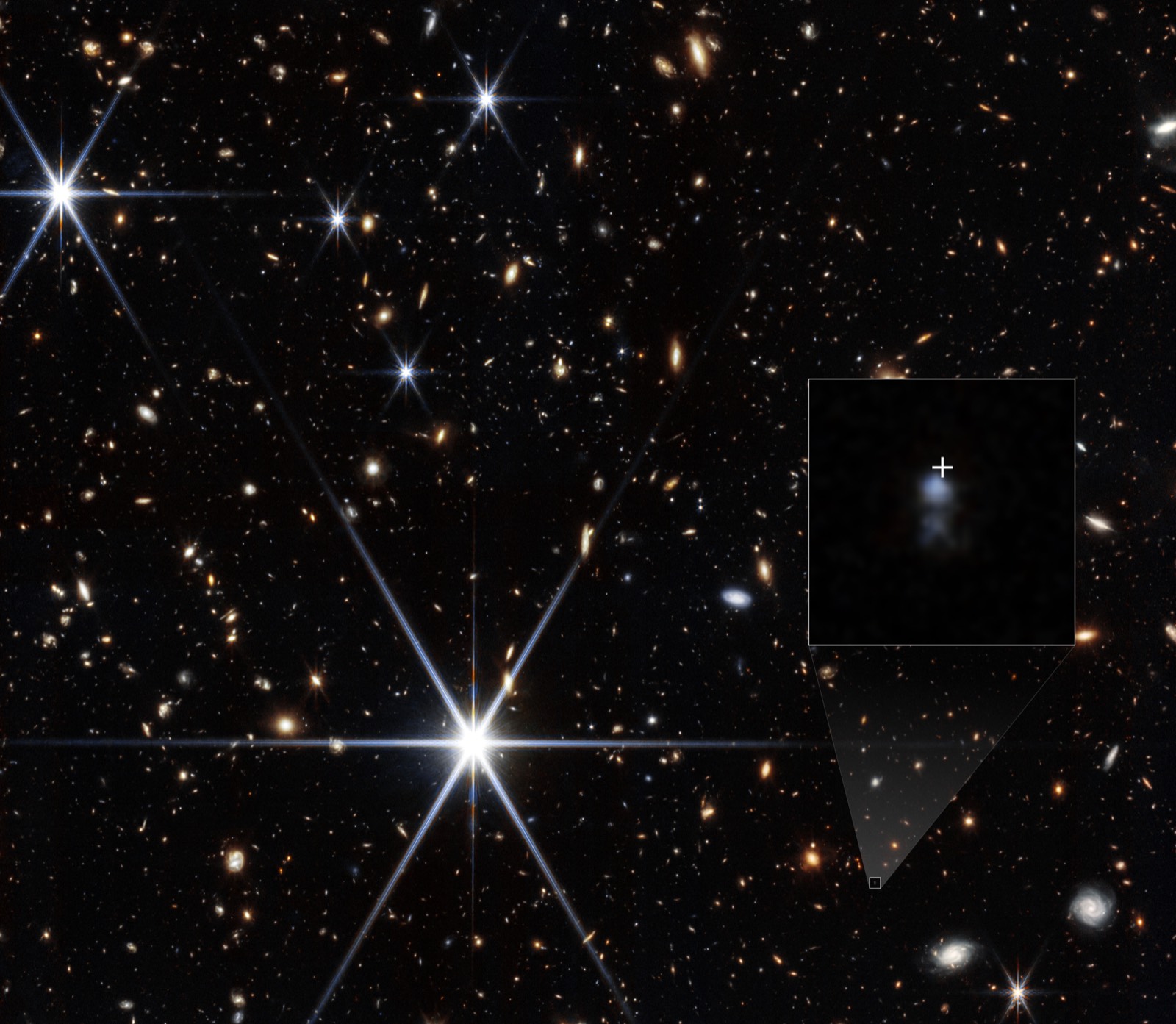
DESI Legacy Surveys' 2D Sky Map Charts Nearly 4 Billion Objects
A public, 5.6-trillion-pixel map covering 75% of the sky catalogs nearly four billion stars, galaxies, black holes and asteroids after 13 years of work.
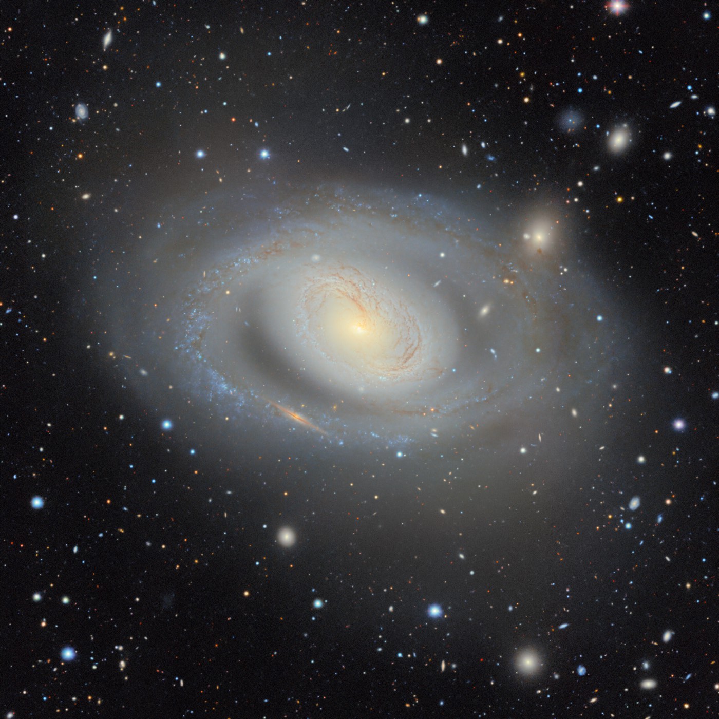
The DESI Legacy Imaging Surveys have released the largest two-dimensional map of the sky ever made: 5.6 trillion pixels cataloging nearly four billion objects, including stars, galaxies, black holes and asteroids. NSF NOIRLab announced the release on August 10, 2026. The map covers about 75% of the sky in visible and near-infrared light and took 13 years to build.
It stitches together 263,407 exposures from three surveys: DECaLS, which used the Dark Energy Camera on the Blanco telescope; MzLS, on the Mayall telescope; and BASS, on the Bok telescope. Data from NASA’s WISE infrared satellite were added on top. “Two-dimensional” means the map records positions and brightness on the sky, not distances.
Distance is where the map earns its keep. It is the foundation for target selection for the Dark Energy Spectroscopic Instrument, which measures distances to millions of the galaxies and quasars it catalogs to build a 3D map of the universe and track dark energy. Earlier Legacy Surveys data releases have already been used in more than 1,800 papers. Large, open digital sky surveys have shaped astronomy since the Sloan Digital Sky Survey, and this one sets a new scale for an all-purpose public atlas. It is a data release rather than a single discovery, so its value will show up in the research built on it, from dark matter maps to searches for gravitational lenses. More in our cosmology guide.
What to watch next: the data are public, so expect a wave of studies using the full catalog.
Primary source
This summary is based on NSF NOIRLab. Read the original for full details, data and caveats.
This week in papers
The week's most important results, one line each, every week.